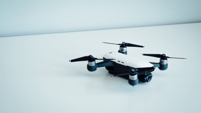
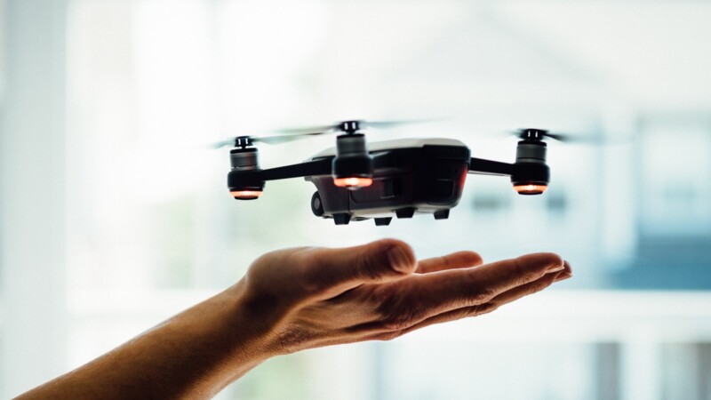
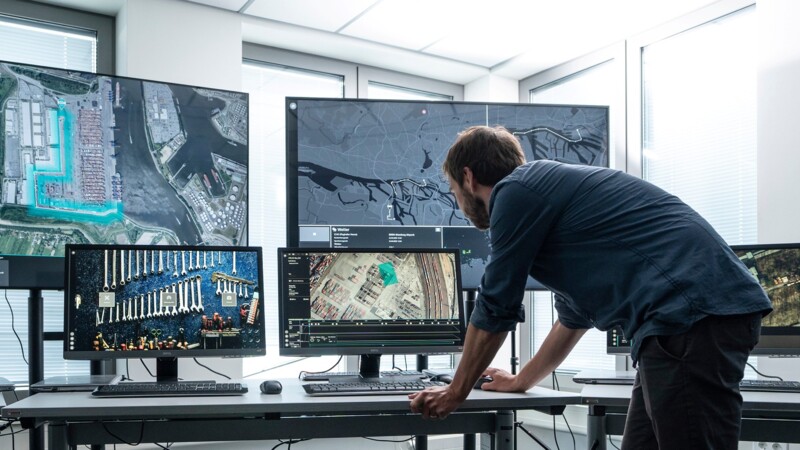
"Droneport is the first ground infrastructure of its kind in Europe, and introduces remote-controlled drone services beyond the line of vision," said Jens Meier, Managing Director of HPA. UAVs open up new working methods for infrastructure and traffic management. The departments of the Hamburg Port Authority, disaster control and the police could use these technologies to collect data in a cost-efficient manner. Drone flights can also lower CO2 emissions. HPA already uses UAVs to inspect infrastructure e.g., such as the Köhlebrand Bridge. There, "Spot", the robotic dog, equipped with a laser scanner, sensors and a high-resolution camera with 30x optical zoom, carries out inspections of the bridge and generates a 3D point cloud from the data obtained thereby relieving his human colleagues.
The Hamburg Police, Hamburg Aviation and the Hamburg Port Authority (HPA) opened Droneport in June - Europe's first ground control centre for UAVs and mobile sensor technology in the Port of Hamburg. "Drones will shape police work in future. As a low-emission and low-noise means of deployment, they are already a valuable aid in the search for missing persons, traffic control and at major events," said Falk Schnabel, President of Police in Hamburg
Ground infrastructure for remote-controlled drones
Use in logistics, infrastructure and transport and
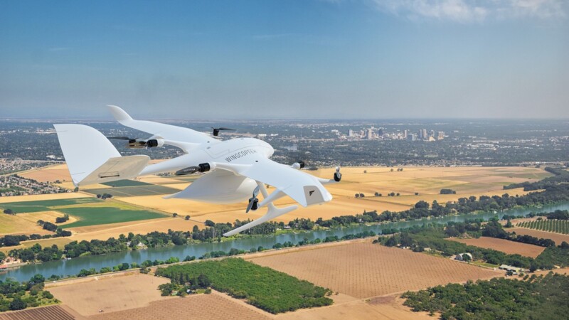
Drones are increasingly important e.g., for the logistics sector. HHLA Sky has developed a control centre in North Rhine-Westphalia to operate and monitor B2B courier deliveries by drone. Hamburg’s Ministry for Roads, Bridges and Waterways and HHLA Sky are planning the use of drones in urban areas for managing infrastructure and buildings. The Centre for Applied Aviation Research Hamburg and the drone manufacturer Wingcopter are developing hydrogen-powered delivery drones. Hamburg is also paving the way for UAVs in the urban airspace as part of the BLU-Space project while. The CITYAM project involving Hamburg, Helsinki and Stockholm aims to set up sustainable, urban air mobility in their cities.
mm/sb/pb
Sources and further information
More
Similar articles

LSBG and HHLA Sky plan urban use of drones

Transnational collaboration to boost urban air transport

